WELLESLEY ISLAND New York Map Watercolor Map: PRINT
from $18.00
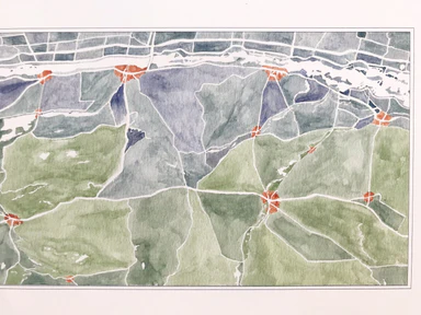
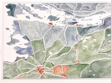
WELLESLEY ISLAND, Thousand Islands, New York. This Map is an homage to the river's seasonal transitions at freeze and thaw - the frozen, thawing an...
View full details
from $18.00