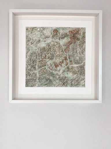
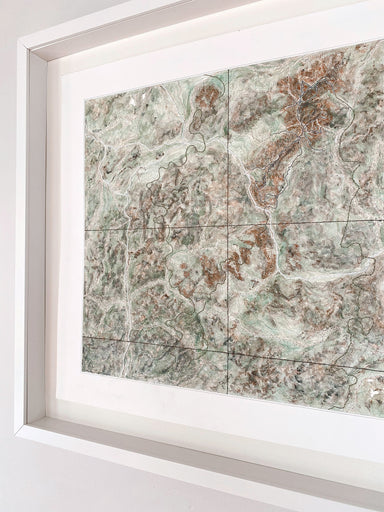
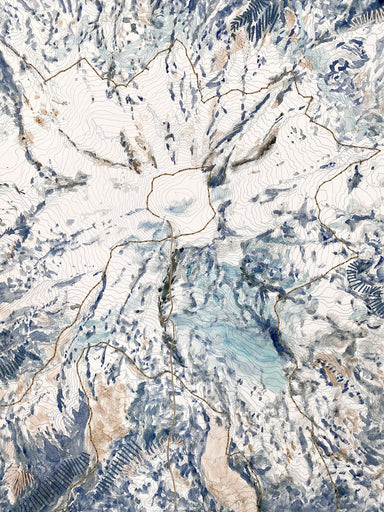
San Rafael Reef UTAH Topographical Watercolor Map: PRINT
from $26.00
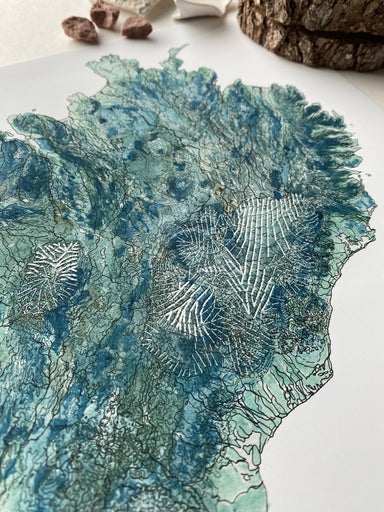
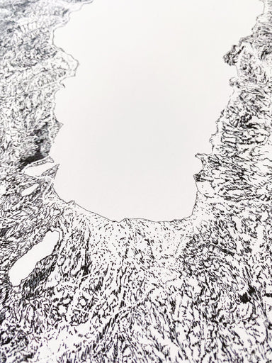
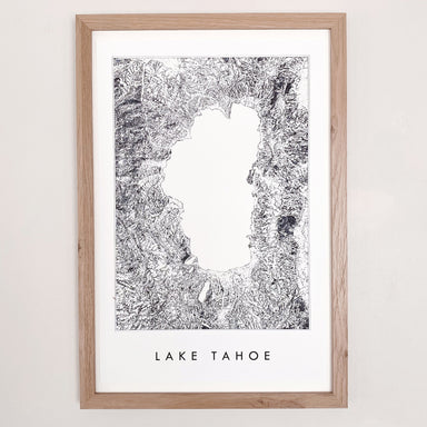
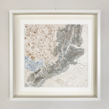
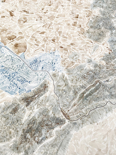
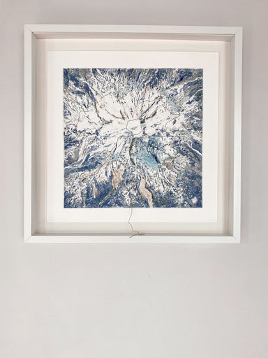
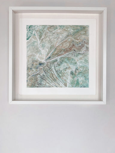
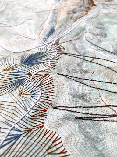
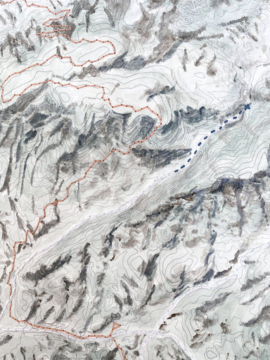
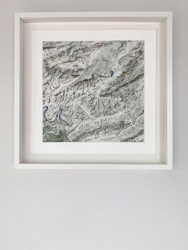
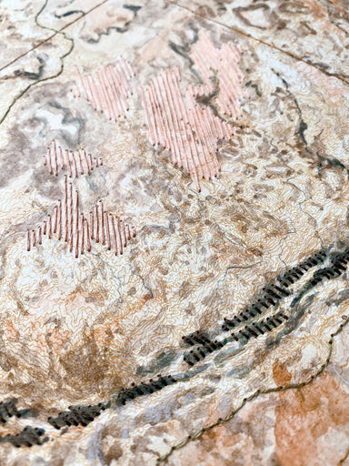
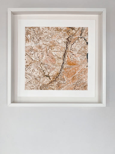
SAN RAFAEL REEF, Utah. A geologic marvel, rendered in aerial view, watercolor overlaid with my hand-drawn topographic lines. Title in my "watercolo...
View full details
from $26.00