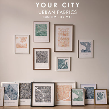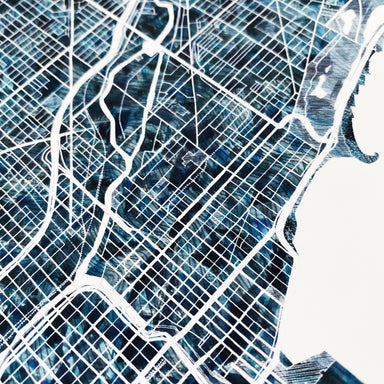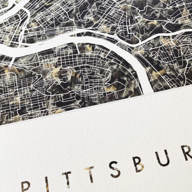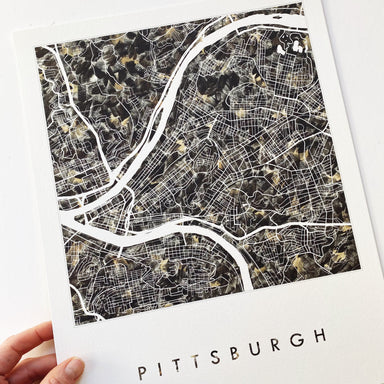
BOSTON Massachusetts Urban Fabrics City Map: PRINT
from $26.00
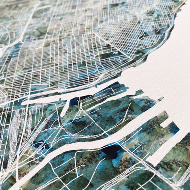
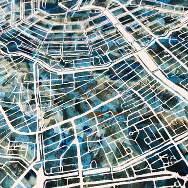
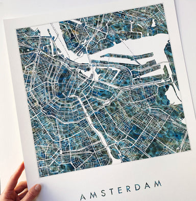
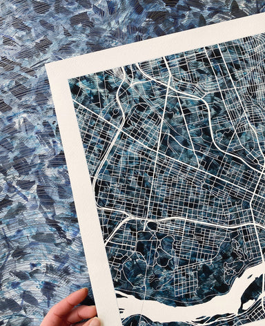
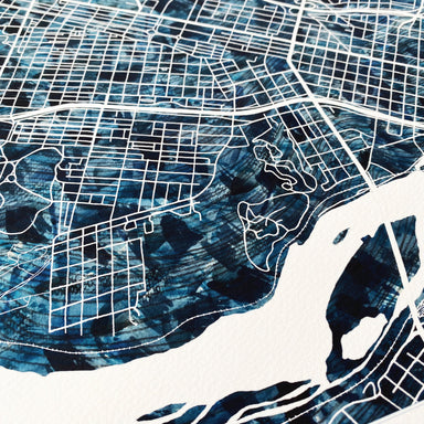
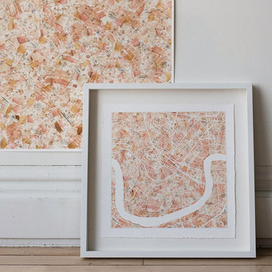
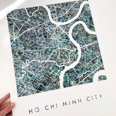
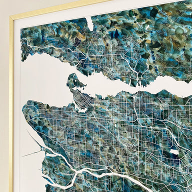
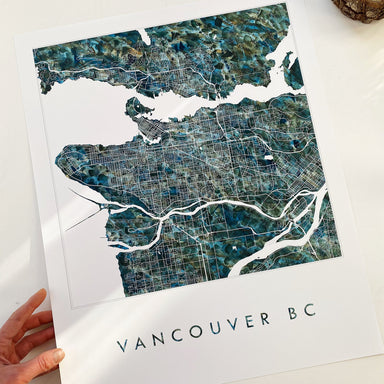
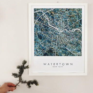
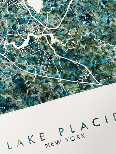
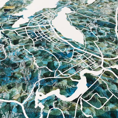
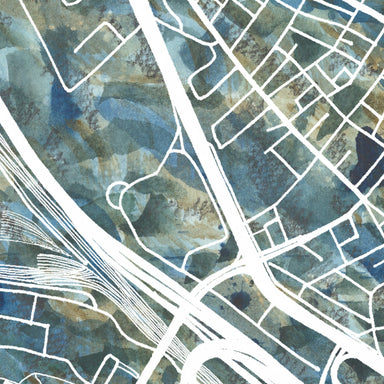
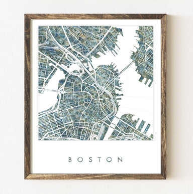
BOSTON, Massachusetts. Explore the core of Boston with its rivers and docks, abstracted into a figure/ground, or block, plan. The map-drawing cente...
View full details
from $26.00