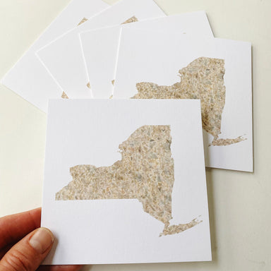
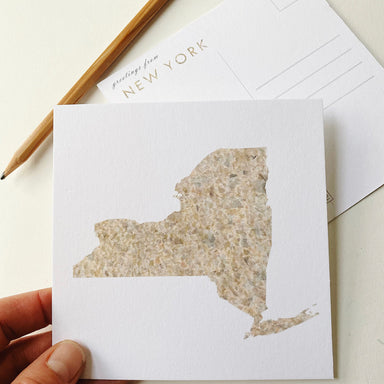
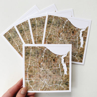
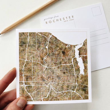
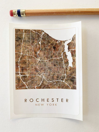
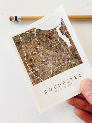
Lake ONTARIO Topographical Watercolor Map: PRINT
LAKE ONTARIO. This Map erases the boundary between the US and Canada and focuses on the Lake, the surrounding cities and the topography and bathyme...
View full details
Sale
LAKE ONTARIO. This Map erases the boundary between the US and Canada and focuses on the Lake, the surrounding cities and the topography and bathyme...
View full details
Sale
ROCHESTER, New York. The city unfolds between Lake Ontario and the Genessee River. The map area is bounded by the 390 Beltway on the west, and Iron...
View full details
Sale
ROCHESTER! The city unfolds between Lake Ontario and the Genessee River. The map area is bounded by the 390 Beltway on the west, and Irondequoit Ba...
View full details
Sale
ROCHESTER, New York! This is a STICKER of my watercolor wash painting in olive waves with warm undertones. Stick it anywhere dry and REPRESENT. Nic...
View full details
Sale
My ROCHESTER New York Rainbow PRIDE Watercolor Map, now on a THANK YOU card - Show some local love for your favorite city while saying thanks! 16 p...
View full details
Sale
ROCHESTER, New York. For your Map Tree! Or to hang anywhere you need a little map of your favorite place.A fun way to celebrate your city at the ho...
View full details
Sale
ROCHESTER, New York. The city unfolds between Lake Ontario and the Genessee River. The map area is bounded by the 390 Beltway on the west, and Iron...
View full details
Sale
ROCHESTER, New York. The city unfolds between Lake Ontario and the Genessee River. The map area is bounded by the 390 Beltway on the west, and Iron...
View full details
Sale
ROCHESTER, New York. The city unfolds between Lake Ontario and the Genessee River. The map area is bounded by the 390 Beltway on the west, and Iron...
View full details