

The Bair Drug STEILACOOM Washington Watercolor Map: ORNAMENT
The Bair, Steilacoom Washington. For your Map Tree! Or to hang anywhere you need a little map of your favorite cafe.A fun way to celebrate this Ste...
View full details
 Sale
Sale
The Bair, Steilacoom Washington. For your Map Tree! Or to hang anywhere you need a little map of your favorite cafe.A fun way to celebrate this Ste...
View full details
 Sale
Sale
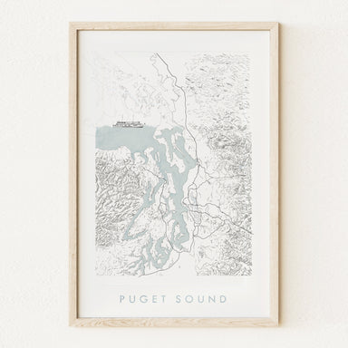
PUGET SOUND, Washington. My hand-drawn Map depicts the Puget Sound, its coastlines, boundaries and islands, ferry routes, and surrounding topograph...
View full details
 Sale
Sale
SOUTH Puget SOUND, Washington. It's its own Place! (and where I call home ; ) The Map includes the southern end of the Puget Sound and Salish Sea...
View full details
 Sale
Sale
STEILACOOM, Washington. Home of the first post office in Washington - now Bair Drug. Ferry to Anderson Island, too! This is a PRINT. My hand-drawn ...
View full details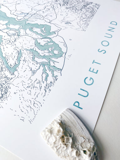
 Sale
Sale
PUGET SOUND, Washington. My hand-drawn Map depicts the Puget Sound, its coastlines, boundaries and islands, ferry routes, and surrounding topograph...
View full details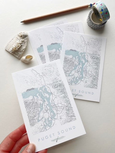
 Sale
Sale
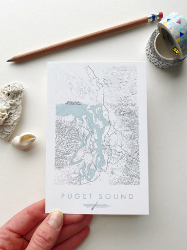
My PUGET SOUND Watercolor Map, now on a Postcard - Show some local love for your favorite city! My hand-drawn Map depicts the Puget Sound, its coas...
View full details
 Sale
Sale
My STEILACOOM WA Hand-drawn Watercolor Wash Map, now on a Postcard - Show some local love for your favorite town! My sketch of a vintage ferry boat...
View full details
