
 Sold out
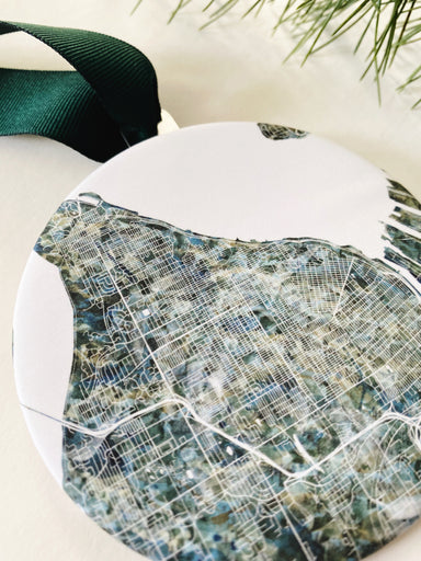
North TACOMA Washington ColorFULL Map: ORNAMENT
TACOMA Washington. For your Map Tree! Or to hang anywhere your need a little map of your favorite place.A fun way to celebrate your city at the hol...
View full details
 Sold out
TACOMA Washington. For your Map Tree! Or to hang anywhere your need a little map of your favorite place.A fun way to celebrate your city at the hol...
View full details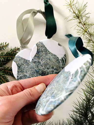
 Sold out
TACOMA Washington. For your Map Tree! Or to hang anywhere your need a little map of your favorite place.A fun way to celebrate your city at the hol...
View full details
 Sale
Sale
Celebrate your Neighborhood in Seattle, Washington: NORTHGATE! A great accent piece for a Map Wall of places lived and loved. This is a PRINT from ...
View full details
 Sale
Sale
Celebrate your Neighborhood in TACOMA, Washington: OLD TOWN! The origin of Tacoma, Job Carr, swashbuckling ghosts, a sweet little business district...
View full details
 Sale
Sale
My ColorFULL OLYMPIA Washington Watercolor Map, now on a THANK YOU card - Show some local love for your favorite city while saying hello! The text...
View full details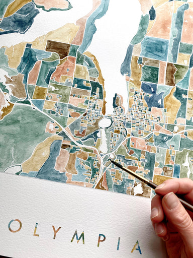
 Sale
Sale
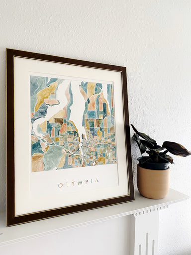
Greater OLYMPIA, Washington. Original Watercolor City Blocks Map. With each block painted by hand, an original watercolor map of Olympia's city pla...
View full details
 Sale
Sale
OLYMPIA, Washington. The map-drawing focuses on Downtown and the heart of the city nestled around Capitol Lake. This is a PRINT. My hand-drawn map ...
View full details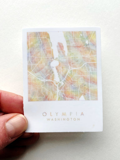
 Sold out
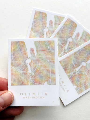
OLYMPIA, Washington! This is a STICKER featuring my Rainbow PRIDE Map of Olympia. Stick it anywhere and REPRESENT. (Suitable for car, waterbottle, ...
View full details
 Sale
Sale
OLYMPIA, Washington. The map-drawing focuses on Downtown and the heart of the city nestled around Capitol Lake. This is a PRINT. My hand-drawn map ...
View full details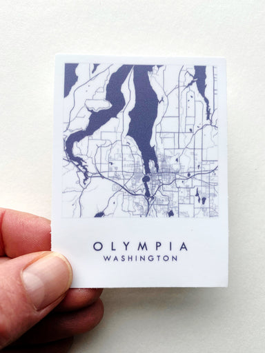
 Sold out
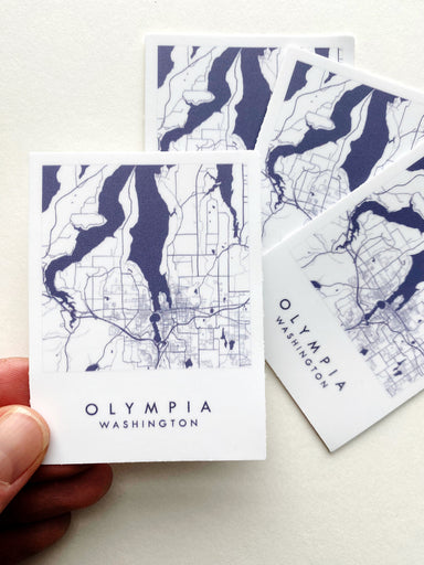
Greater OLYMPIA, Washington! The Capitol core and the outlying coastal areas. This is a STICKER of my original ink line drawing, tinted deep dark b...
View full details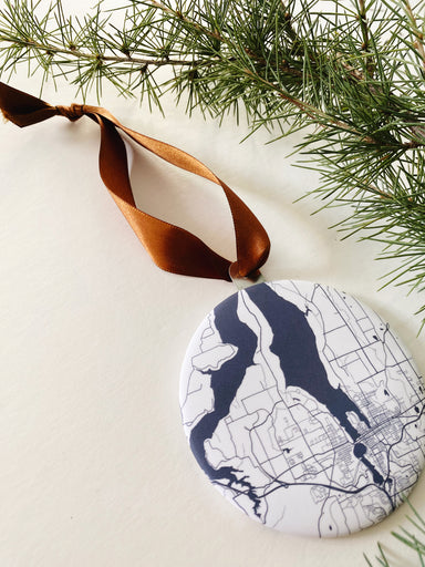
 Sale
Sale
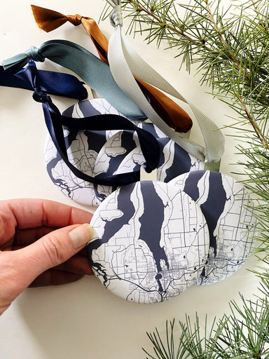
OLYMPIA Washington. For your Map Tree! Or to hang anywhere your need a little map of your favorite place.A fun way to celebrate your city at the ho...
View full details
 Sale
Sale
My OLYMPIA Washington Botanical Map, now on a Postcard - Show some local love for your favorite city!My Oly Map is embellished with my hand-painted...
View full details
 Sale
Sale
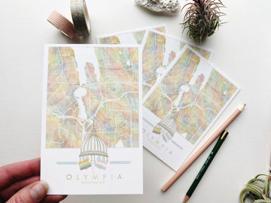
My OLYMPIA WA Capitol PRIDE Map, now on a Postcard - Show some local love for your favorite city! My sketch of the Pride and Trans Pride flags that...
View full details
 Sale
Sale
OLYMPIA, Washington. The map focuses on Downtown and the heart of the city surrounding Capitol Lake. This is a PRINT of my original black ink line ...
View full details
 Sale
Sale
OLYMPIA Washington. For your Map Tree! Or to hang anywhere your need a little map of your favorite place.A fun way to celebrate your city at the ho...
View full details
 Sale
Sale
OLYMPIA, Washington. Inspired by the lush flora of the Pacific Northwest, this map features my hand-painted ferns. This is a PRINT in my Botanical ...
View full details
 Sale
Sale
Greater OLYMPIA, Washington. The Capitol core and the outlying coastal areas. The map-drawing focuses on Downtown and the heart of the city nestled...
View full details
 Sale
Sale
OLYMPIA, Washington. Inspired by the lush flora of the Pacific Northwest, this map features my hand-painted rhododendrons - the state flower for th...
View full details
 Sale
Sale
Celebrate your Neighborhood in Seattle, Washington: OLYMPIC HILLS! A great accent piece for a Map Wall of places lived and loved. This is a PRINT f...
View full details
 Sale
Sale
Celebrate your Neighborhood in Seattle, Washington: OLYMPIC MANOR! A great accent piece for a Map Wall of places lived and loved. This is a PRINT f...
View full details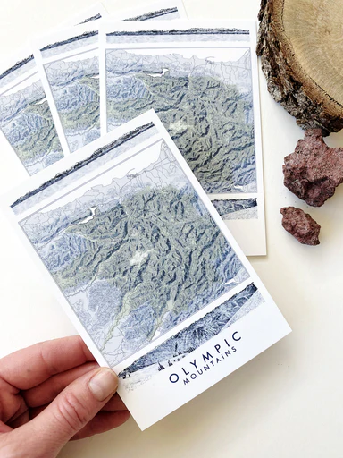
 Sale
Sale
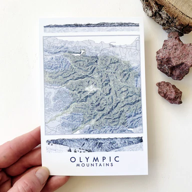
OLYMPIC MOUNTAINS Olympic Peninsula, Washington State Topographical Map Art Prints - Show some local love for your favorite adventure area! This i...
View full details
 Sale
Sale
The OLYMPIC Mountains reveal the pileup of shifting tectonic plates at the western coast of the US and create a massive "fortress" between the Paci...
View full details
 Sale
Sale
ORCAS ISLAND, San Juan Islands Washington. For your Map Wall, memento of your adventures, vacation home decor, wedding gift, reminder of home! This...
View full details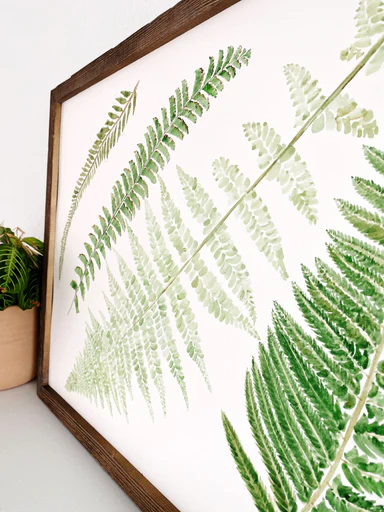
 Sold out
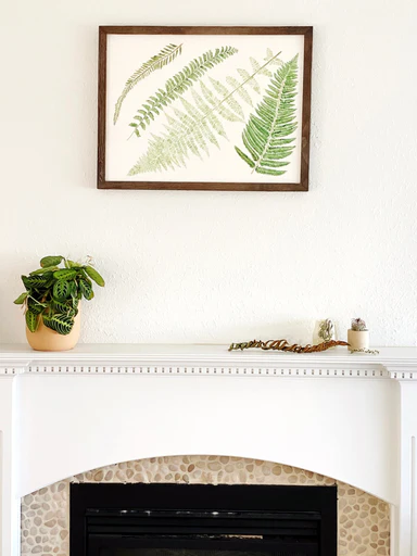
My hand-painted ferns in varying shades of green - from freshly-picked and lush to dried autumn curls - with those ochre spores that leave their sp...
View full details
 Sale
Sale
My Phinney Ridge Seattle Neighborhood Map, now on a Postcard - Show some local love for your favorite Seattle neighborhood! This is a POSTCARD fro...
View full details
 Sale
Sale
Celebrate your Neighborhood in Seattle, Washington: PHINNEY RIDGE! A great accent piece for a Map Wall of places lived and loved. This is a PRINT f...
View full details
 Sale
Sale
Celebrate your Neighborhood in Seattle, Washington: PINEHURST! A great accent piece for a Map Wall of places lived and loved. This is a PRINT from ...
View full details
 Sale
Sale
My Pioneer Square Seattle Neighborhood Map, now on a Postcard - Show some local love for your favorite Seattle neighborhood! This is a POSTCARD fr...
View full details
 Sale
Sale
Celebrate your Neighborhood in Seattle, Washington: PIONEER SQUARE! A great accent piece for a Map Wall of places lived and loved. This is a PRINT ...
View full details
 Sale
Sale
My PNW TACOMA Washington Hand-painted Watercolor Map, now on a Postcard - Show some local love for your favorite city! A little forest of firs and ...
View full details
 Sale
Sale
My PNW TACOMA Washington Hand-painted Watercolor Map, now on a Magnet - Show some local love for your favorite city! My hand-painted watercolor map...
View full details
 Sold out
*This Painting is Available for Purchase at the Tacoma Art Museum Store. If interested, please visit the TAM Store or contact me for a referral.* T...
View full details
 Sale
Sale
TACOMA, Washington City Map Art Print in the blues and greens of the PNW.For your Map Wall, memento of your PNW adventures, reminder of home.My han...
View full details
 Sale
Sale
POINT DEFIANCE Park, TACOMA, Washington City Map Art Print: Past and Present.For your Map Wall, memento of your PNW adventures, reminder of home.My...
View full details
 Sale
Sale
POINT DEFIANCE Park, TACOMA, Washington City Map Art Print: Past and Present.For your Map Wall, memento of your PNW adventures, reminder of home.My...
View full details
 Sale
Sale
Celebrate your Neighborhood in TACOMA, Washington: POINT DEFIANCE! The wildlife, proximity to nature, amenities closeby, the views…the wildlife eat...
View full details
