PUGET SOUND Topographical Watercolor Map: 11x14 PRINT
$34.00
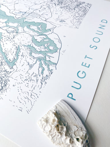
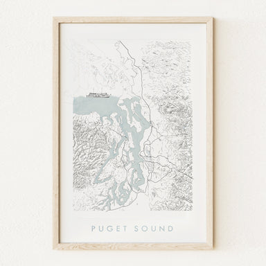
PUGET SOUND, Washington. My hand-drawn Map depicts the Puget Sound, its coastlines, boundaries and islands, ferry routes, and surrounding topograph...
View full details
$34.00